
The Romans arrived in Britain in AD 43 and established themselves in Malton in around 71 AD. Malton lies midway between the East coast and York which made Malton an important link in the Roman chain. With the River Derwent running through it made it a strategic position to build a Fort. The Romans, who built Eboracum (modern-day York) such a short distance away, created a fort Derventio Brigantum, on what is now Orchard Fields. Derventio was first mentioned in the Antonine Itinerary which listed the Roman roads in Britain and their importance. The fort was initially constructed from wood but later rebuilt in stone. During excavations in 1927, digging was focused on the north east gate which had 11 occupation layers and the ditches in the Lodge gardens were over 20ft deep. The cavalry unit that was stationed there was called Ala Gallorum Picentiana, the Picentine wing of the Gauls.

Above is an artists impression of Roman Manchester. Roman forts followed the same standardised layout with four gateways, the headquarters and commanders house in the centre, then around them granaries and workshops, stables and the barrack blocks. Surrounding the fort is the civilian settlement which was built outside, with the layout also following a grid like plan. This can still be seen in this aerial photograph of Malton, with the fort to the top left just out of the photo.

Civilian settlements (viscus) grew around forts and in Malton during our excavation we have found evidence of this. Along with a round oven, that was partially excavated, a great deal of pottery, animal bones and building material was found. The fort was strategically placed with a view to Seamer Beacon near Scarborough and across the Yorkshire Wolds and Vale of Pickering.
The pottery discovered during our excavation corresponds with that found during the 1968-70 excavation with Nene Valley pottery found dating to the 2nd and 3rd Century. Below is an example of this type of pottery.


Source: Carol Leyland own photograph
There was a range of pottery unearthed of varying types such as black burnished ware which was wheel thrown and first found in London dating from 120AD and made in the Thames Estuary and distributed around Britain. The pieces would have come from a jar with a decorated rim:-

We also uncovered other pottery types that weren’t as elaborate and some that were very fine and had decoration. This suggests that the houses that were in the viscus were occupied by affluent people.


Source: Carol Leyland own photograph
High status items include part of an intaglio ring, a bracelet and an enamel brooch of which an identical one is in the Yorkshire Museum.


Source: Carol Leyland own photograph
The area was occupied until the Romans left in the 4th Century, after this, the period known as the Dark Ages, until the building of the Norman Castle, not a great deal is known about Malton. We did find a few pieces of medieval glass and green glazed pottery sherds but not in vast numbers. These could have come from the Priory that was in Old Malton a short distance away which dates from Anglo Saxon times.
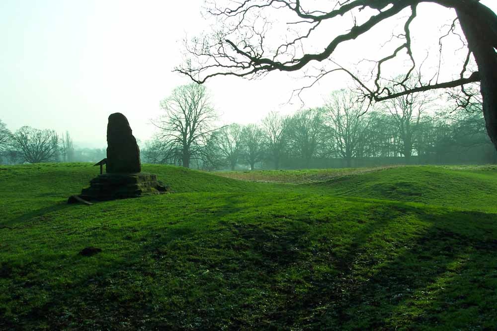
Below is a map with the outline of Medieval Malton, which it is understood once had a wall around it, although now only a small part survives in a garden wall near Castlegate. The compass shows the location of the fort, the castle and clearly shows it vantage point in terms of control of the river and its surroundings and due to it being used over a period of 400 years it shows that it was an important asset to the Roman occupation.


